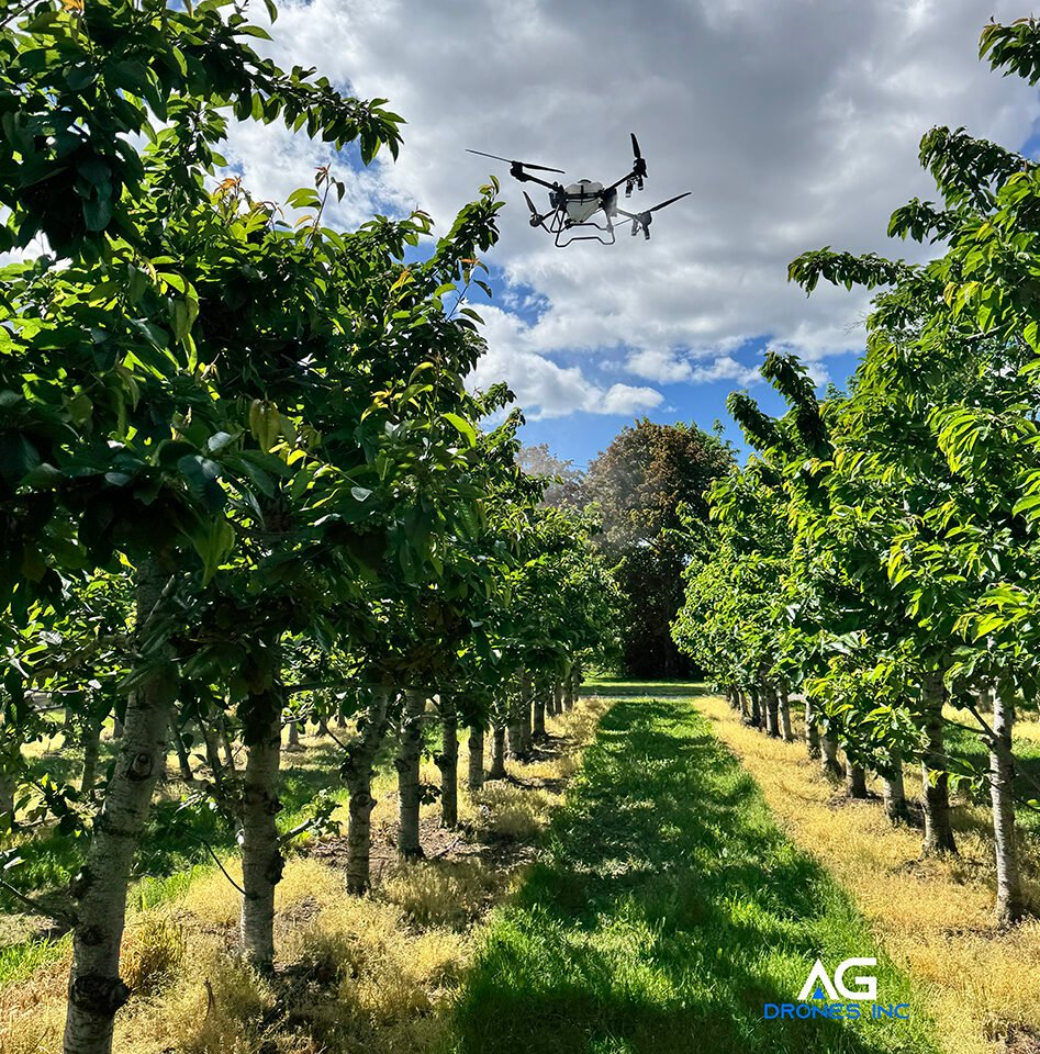
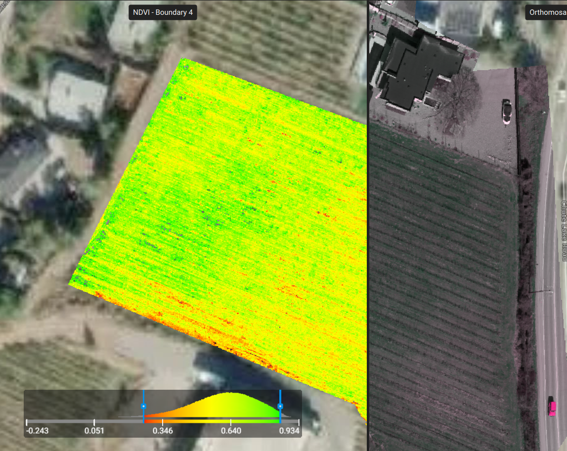
Crop Analysis (RGB | Multispectral | *Leaf Tissue)
Field mapping is an essential tool for:
- Plant counts
- Yield estimation
- Plant stress analysis
- Prescription mapping
- Field inspection and monitoring
Schedule routine flyover mapping for a more detailed overview.
Analysis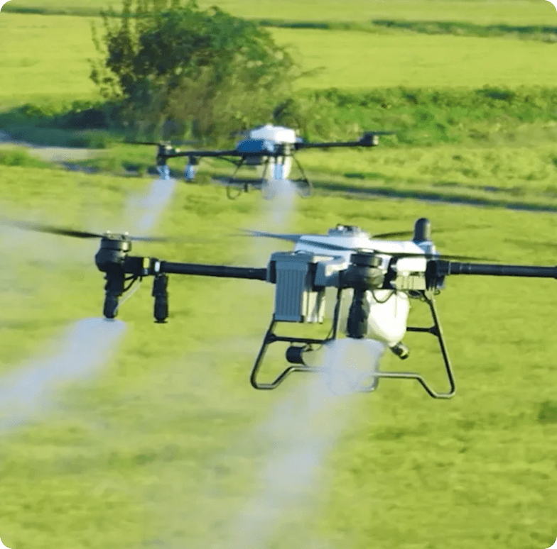
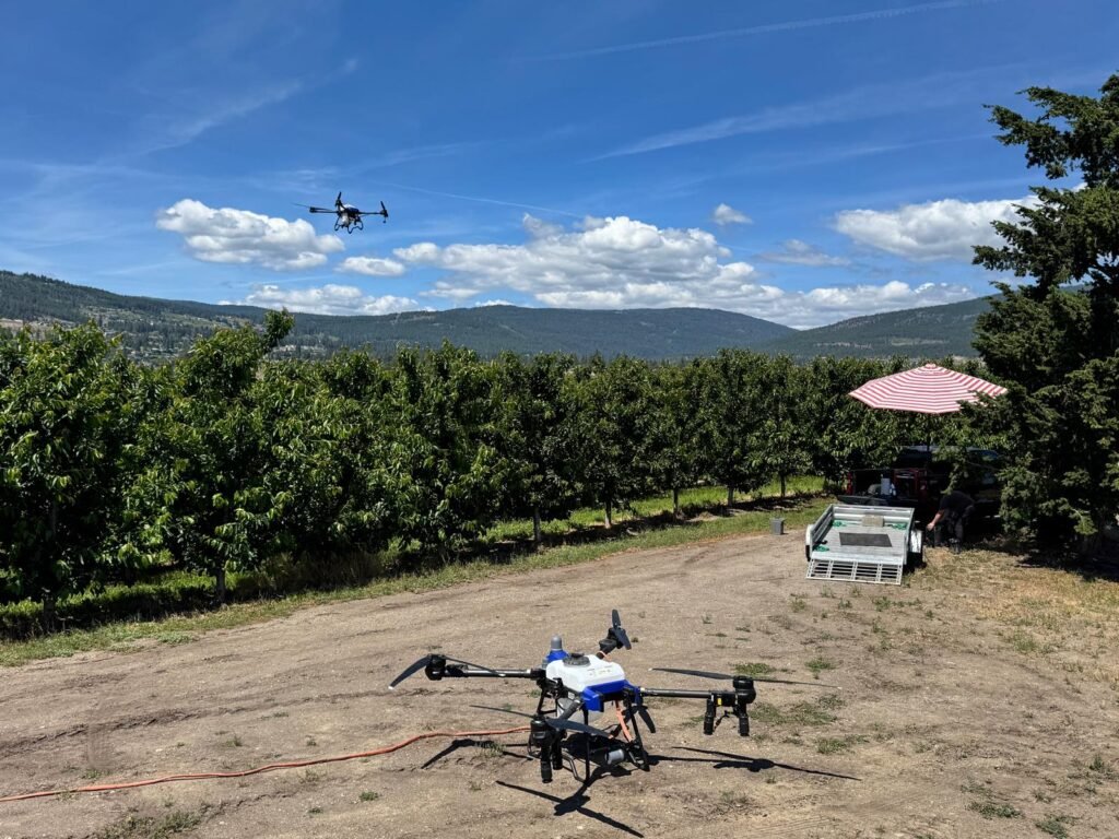
Spraying & Broadcasting Aerial Application
With field data from aerial and ground assets we can pinpoint specific zones in need of remedies or apply to the entire field.
- Cover 45–60 acres per hour
- Precision targeting or broad coverage
- Reduced water and agro-product usage
- Full and even coverage
Drone application saves both resources and product with high accuracy and no field disturbance.
Application Service
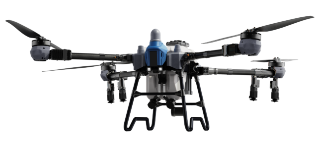
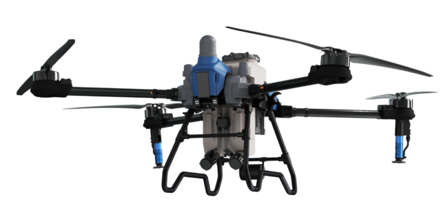
EAVISION AG Drone Sales & Training
Buy EAVISION heavy lift drones from us and get your Ministry of Transportation Canada - Civil Aviation - RPAS Advanced Pilot Certification. This is mandatory for drones over 25 kg.
- Set-up and first flight assistance
- Advanced RPAS course + flight review
- Agriculture Drone Safety and Maintenance Training
- Maintenance and Repair Seminars
Fly your fields safely and with confidence.
Sales & Training